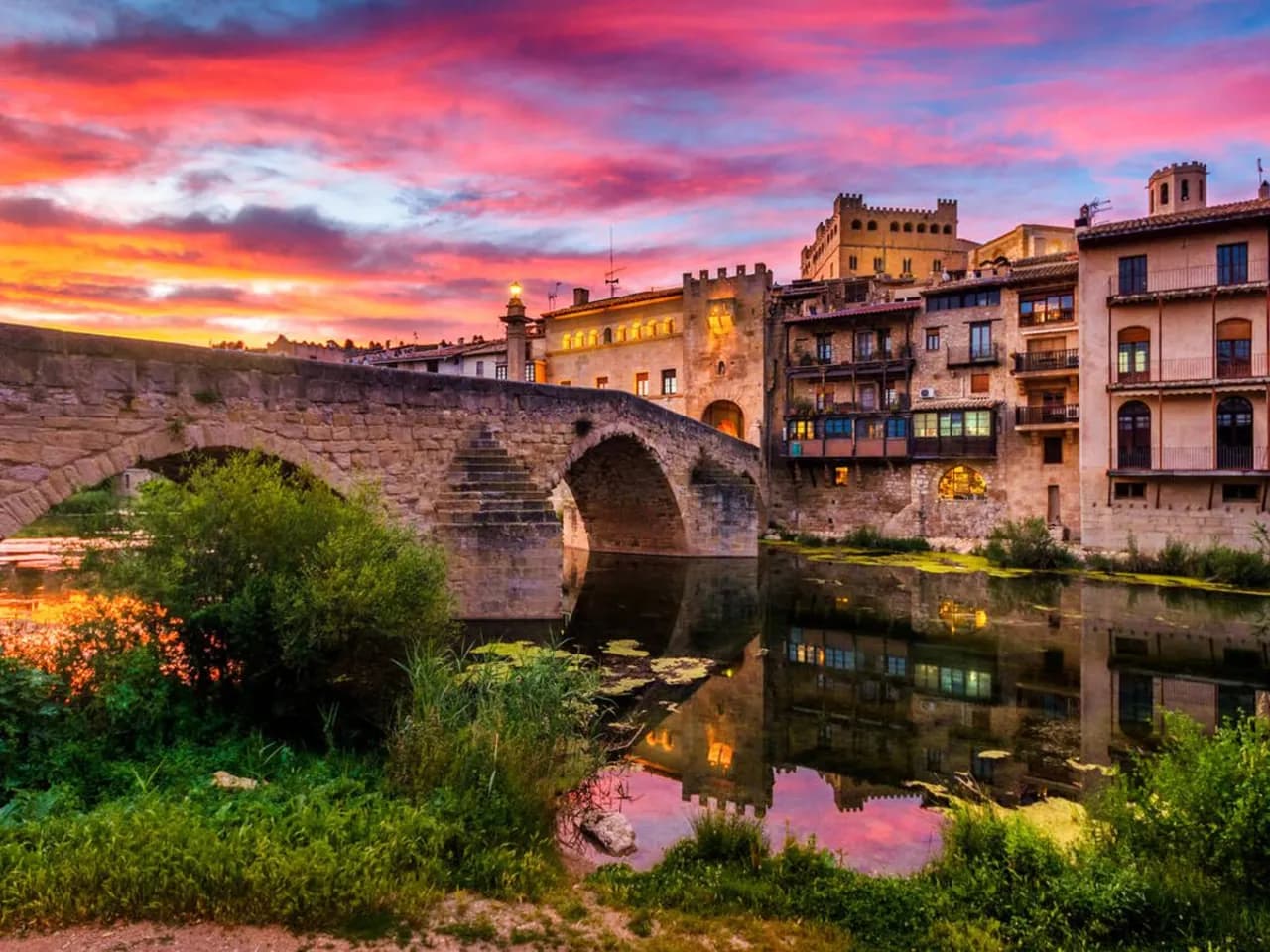
The Matarranya-Algars Camino Natural (nature trail)
Technical details:
Description:
The section of the Matarranya-Algars Camino Natural (nature trail) is 68 km long and connects the source of the Matarraña River (in the municipality of Beceite) with the town of Maella, following the course of the river.
The Matarranya-Algars Camino Natural is planned for extension; one of the three phases has now been completed. The trail will span 205 kilometres and its route will cross the comarques of the Matarraña region (province of Teruel), Bajo Aragón Caspe (Zaragoza) and the Terra Alta (Tarragona). The itinerary will be circular, meaning it starts from Beceite and will end in that same town on its final section, after passing through Calaceite, Cretas, La Fresneda, Mazaleón, Torre del Compte, Valdeltormo, Valderrobres and Maella (first phase completed); Fabara Nonaspe, Fayón (second section, planned); Caseres, Arens de Lledó and Arnes (third phase, planned).
Matarraña · Tourism
Plan your experience
Discover accommodation, local guides and services for your route through Matarraña.